 Parcel Terrain
About Parcel Terrain
Why Parcel Terrain exists
Parcel Terrain began as one buyer’s problem. Its builder — a GIS software engineer and aspiring homesteader — spent months hunting for steep mountain land in Western North Carolina: enough acreage for a homestead, water on the property, and ground gentle enough to hold a house and a garden that a truck could actually reach.
The listings could not answer any of that. They offered photographs, acreage, and a price — nothing about whether the ground works. On mountain land, the questions that decide everything — how much of the parcel is gentle enough to use, whether a driveway can climb to it, where the water goes when it rains — were left to a site visit and a guess.
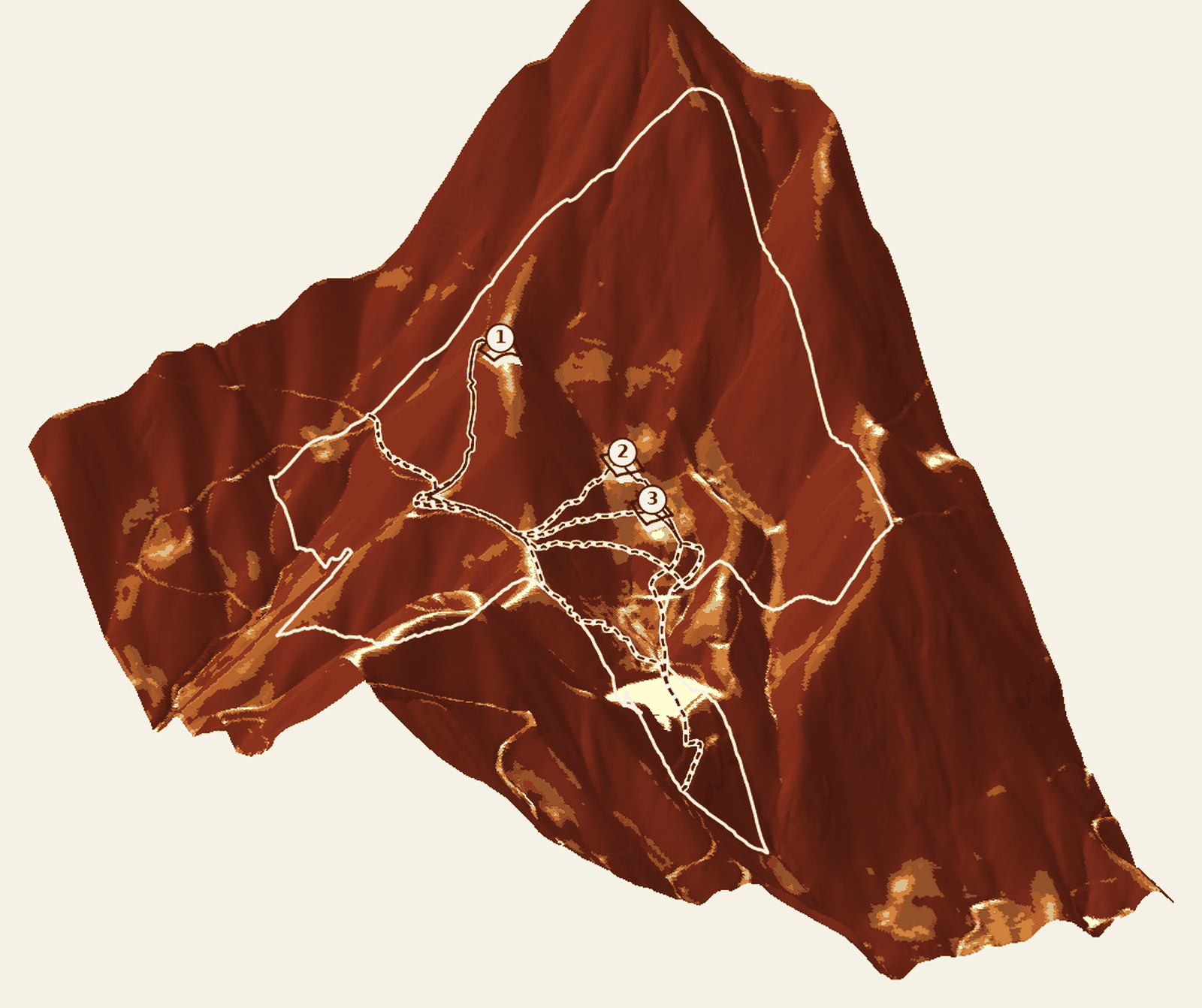
So he answered them the way an engineer answers anything: with measurements. He pulled bare-earth LiDAR — the elevation of the ground itself, not the treetops — and built a model that measures slope across the entire parcel, searches the whole surface for candidate building pads, routes least-cost driveway corridors costed by the grade of every step, and lays published context beside the measurements: FEMA flood zones, the state landslide inventory, soils and wetlands — as published, with every source attributed.
The model did what a model should. It ruled parcels out from a desk, for a few dollars of compute, before a three-hour drive found the same answer the hard way — and it showed that every buyer of steep land faces the same silent listings.
Parcel Terrain is that model, made into a product: the same analysis, run on any parcel in the United States, delivered as a $20 report. It reports measurements and candidates — screening, never verdicts — and cites its sources on every page, so you can weigh the ground before you spend real money on it.
What it is today
A terrain due-diligence report for land buyers, agents, and small developers. Pick a parcel on the map. About a minute later, a link opens your report: an interactive map, a print-ready PDF, and GIS exports. Every number is measured from bare-earth elevation data and cited to its source. Three commitments carried over unchanged from that first personal build:
- Bare earth, always
- Surface models measure treetops. Every report runs on bare-earth terrain data and names its source and resolution on the page.
- Pads are found, not assumed
- The whole parcel is searched; candidate pads come back ranked by measurement, each with a planning-level earthwork range.
- Driveways costed against the hill
- Corridors are least-cost routes over the measured grade, reported with length, steepest pitch, and stream crossings.
Run it on your own parcel.